
← Back to the Fact Check Series
History and Theories · Fact Check Series
Under the Canopy, Under the Sea
What LiDAR Has Really Found, and What It Means for the Bible Lands
Opens in a new tab. Use your browser's download or save button to keep a copy.
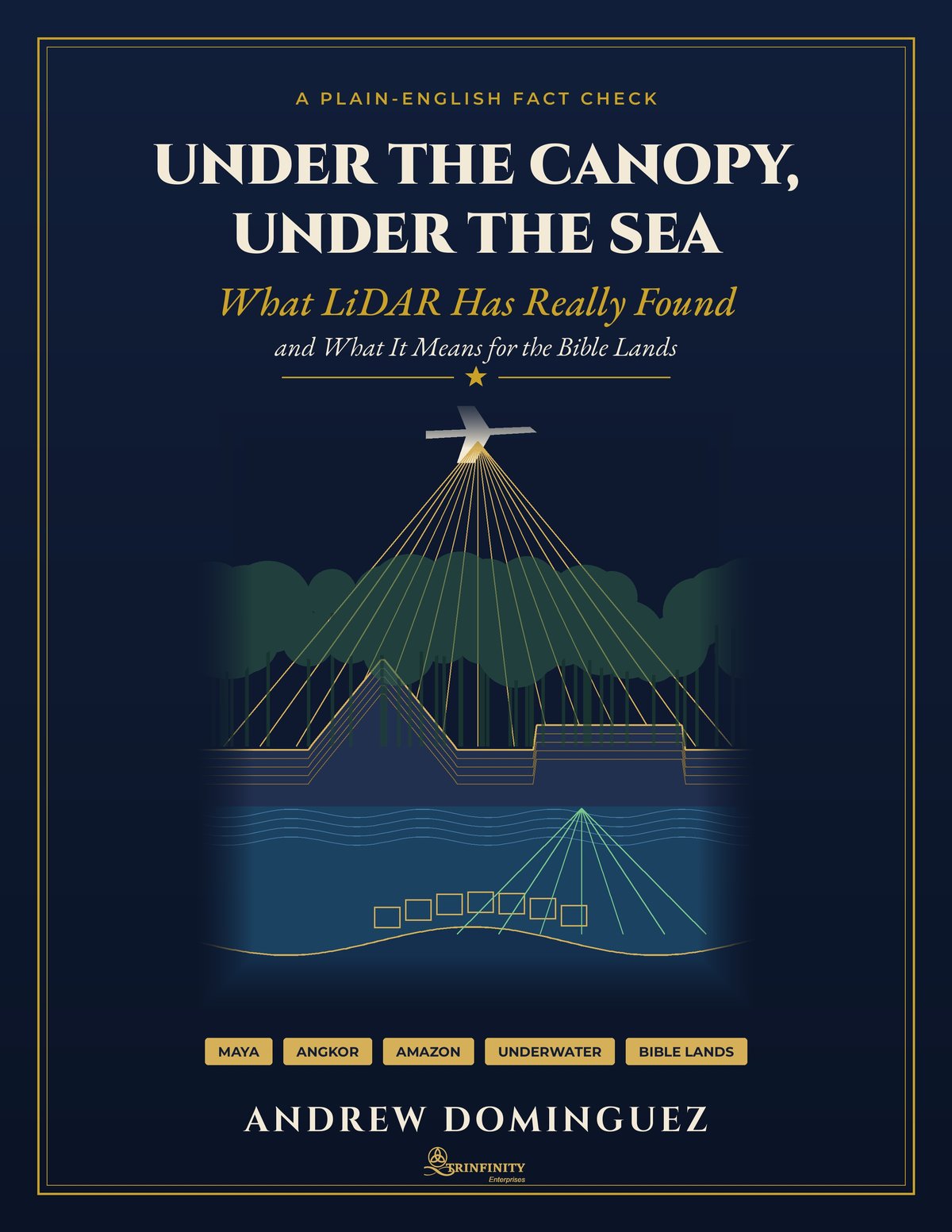
Airborne lasers have mapped tens of thousands of ancient buildings under the forests of Guatemala, a planned city around Angkor Wat, towns in the Amazon and drowned sites under the sea. Headlines call them lost cities. Some were. Many were not. This book goes back to the original reports, site by site, to show what LiDAR (Light Detection and Ranging) really found, who lived there and when.
Inside: the Maya lowlands, Angkor and Mahendraparvata, the Casarabe towns of Bolivia, Poverty Point, Stonehenge, underwater finds in Florida, Australia and Baiae; then Jerusalem, Hazor, Megiddo, Lachish, Jericho and Qumran, where careful digging and radiocarbon dating have done more than any laser. A separate section rates popular claims about lost tribes, Atlantis, the Flood and the Sodom airburst, including two papers that were retracted.
Includes a site map, charts with their data, a chronology and a claim-by-claim check of a popular AI research draft. Scripture is quoted from the Steadfast Literal Bible.
Every fact has a footnote with a link you can open. Where something could not be confirmed, the book says [Not verified].